
Adventures in and Around Ouray, Colorado
Vacation Attractions & Things to Do
- IN OURAY
- SUMMER
- WINTER
- OURAY AREA
Activities in Ouray, CO
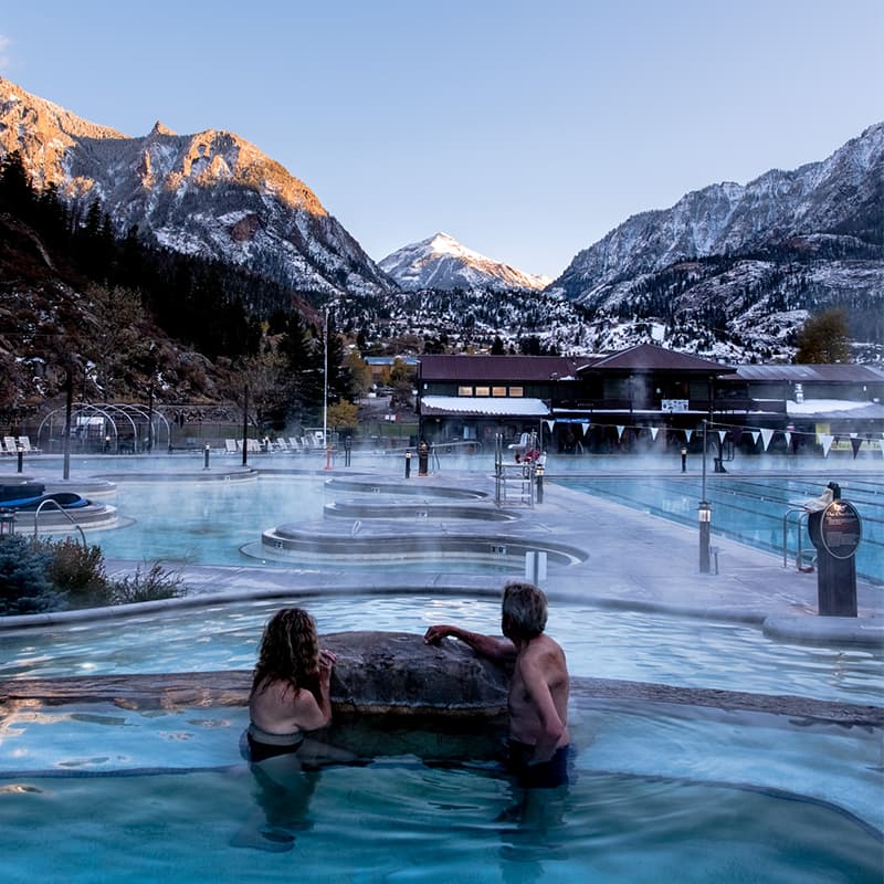
Hot Springs
Family-friendly, sulfur-free, year-round, geothermal soaking pools, ranging from 75-106 degrees
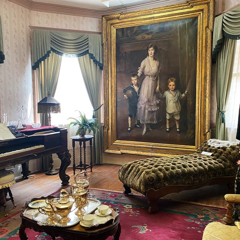
Explore thousands of mining, ranching, and railroading artifacts and Ouray’s connection to
The Hope Diamond
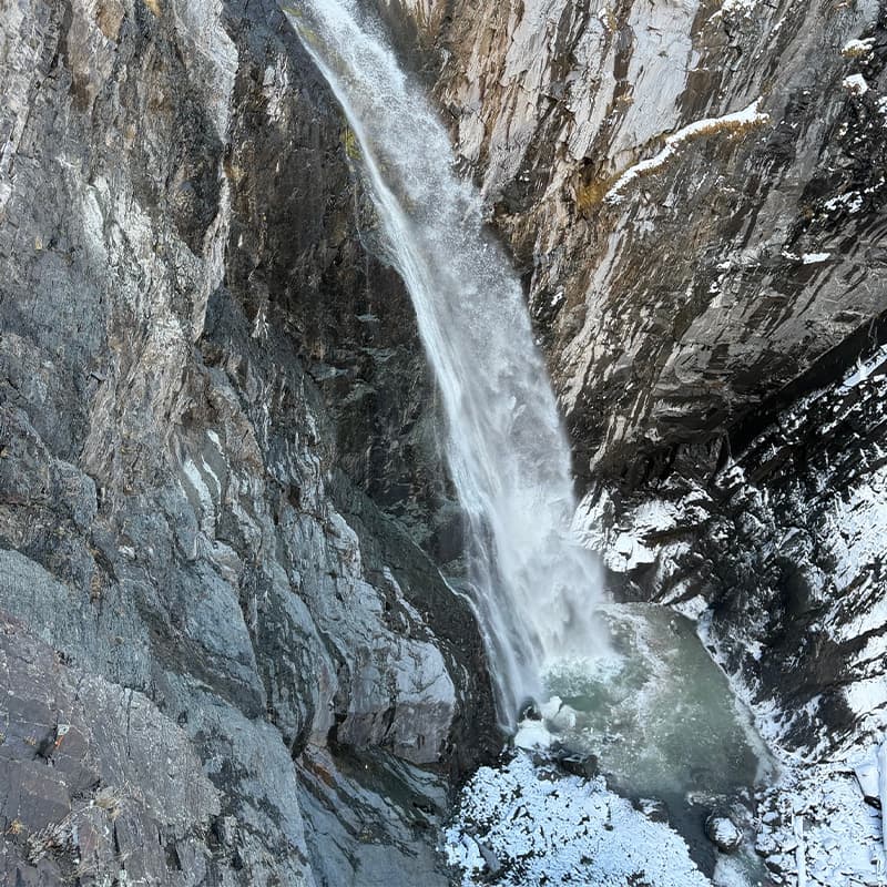
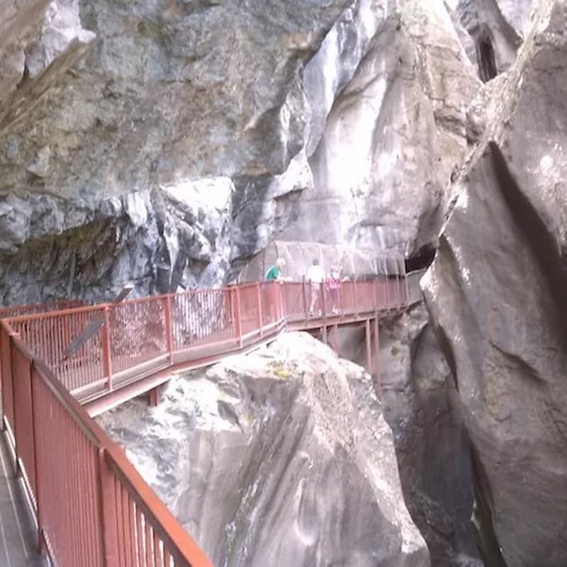
Drive 2.8 mi south of Ouray and you will see a pull-off parking area on the right-hand side of the road
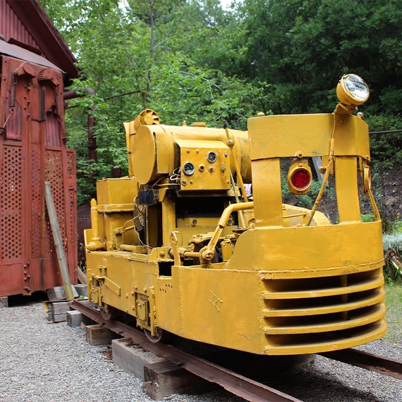
Ride a vintage electric-powered mine train underground and experience the secret world of a gold miner
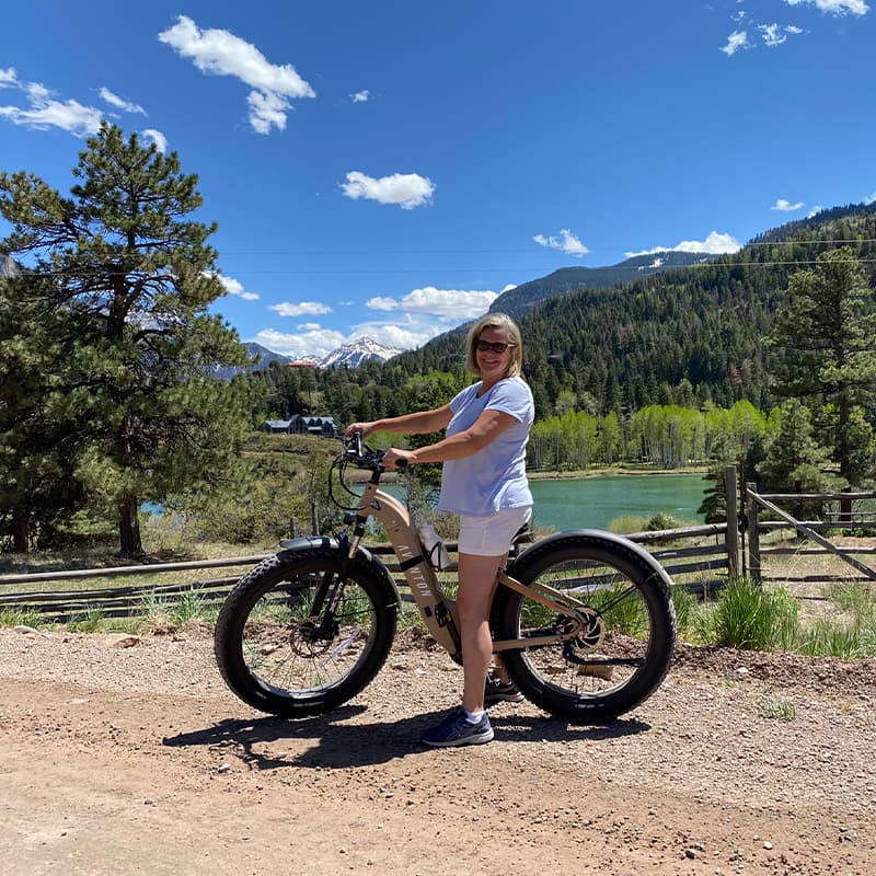
E Bikes
Explore the local area at your own pace, getting off the beaten path and experience nature in a whole new way

Restaurants and Bars
Each are locally owned establishments with tremendous personality and flavors
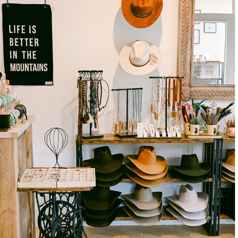
Shopping
Locally owned boutiques, art galleries, and specialty shops all along Main Street